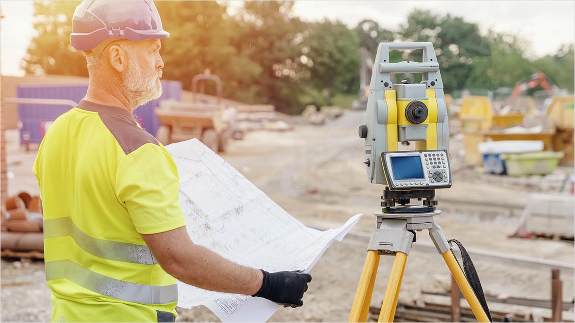
Infrastructure and road development projects require speed, precision, and high-density spatial data. Traditional surveying methods remain important — but modern infrastructure increasingly depends on LiDAR (Light Detection and Ranging) technology.
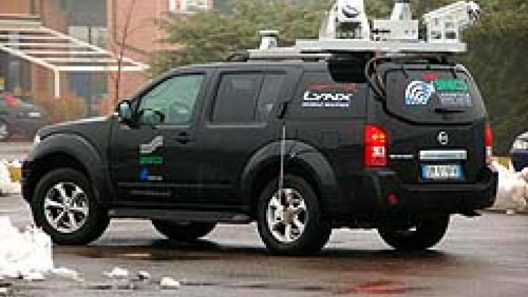
At TerraModus India Pvt. Ltd., we provide advanced LiDAR survey solutions across Delhi NCR for highways, metro corridors, industrial parks, and large-scale infrastructure developments.
Here are the Top 7 Applications of LiDAR in Infrastructure & Road Projects.
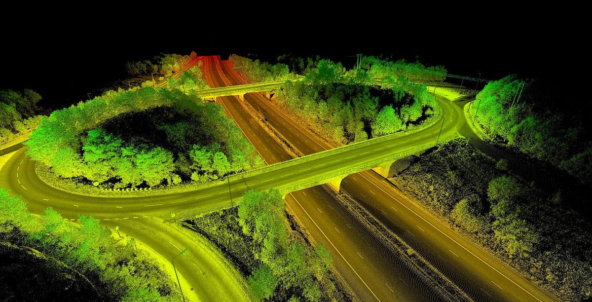
1️⃣ Highway & Expressway Corridor Mapping
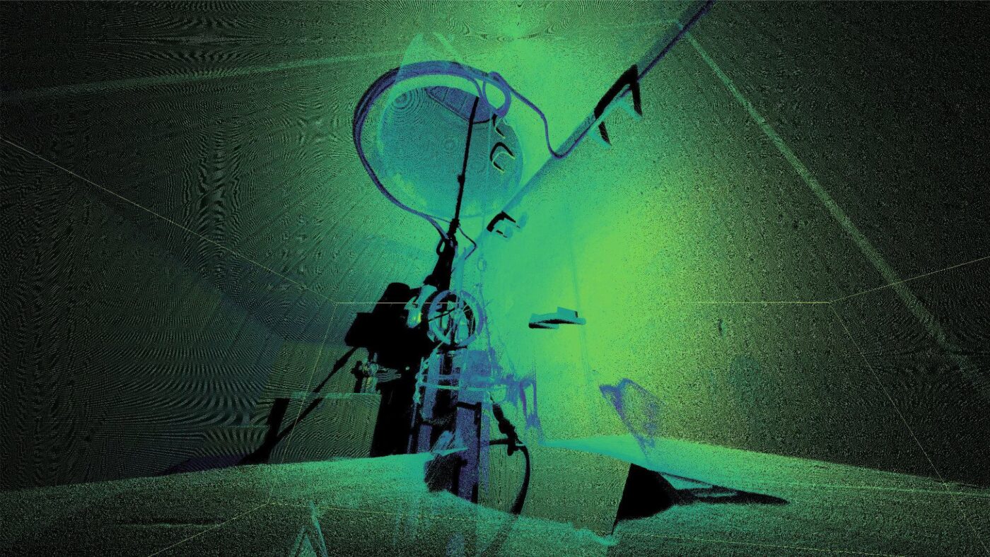
LiDAR enables rapid scanning of long road corridors with millions of data points.
✔ Road centerline mapping
✔ Surface condition documentation
✔ Shoulder & pavement measurement
✔ Alignment verification
This significantly reduces field time while increasing data density.
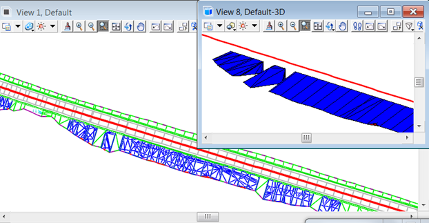
2️⃣ Topographic Surveys for Road Design


LiDAR produces:
- Digital Terrain Models (DTM)
- High-resolution contour maps
- Elevation profiles
- Cross sections
This data is essential for drainage planning and geometric road design.
3️⃣ Bridge & Flyover Inspection
LiDAR captures complex infrastructure such as:
✔ Bridges
✔ Flyovers
✔ Underpasses
✔ Elevated corridors
High-accuracy 3D models allow engineers to evaluate clearances and structural geometry efficiently.
4️⃣ Cut & Fill Volume Calculation
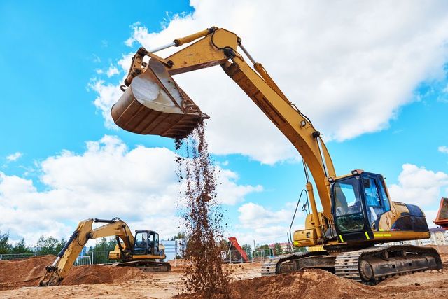
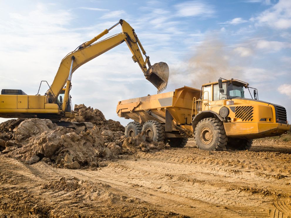
For road construction, earthwork accuracy is critical.
LiDAR provides:
- Pre- and post-excavation comparisons
- Accurate volume estimation
- Reduced contractor disputes
- Improved cost transparency
5️⃣ Utility & Drainage Mapping
Road projects often involve:
- Stormwater drains
- Utility ducts
- Surface infrastructure
- Roadside assets
LiDAR helps document visible infrastructure and integrate it with GIS systems.
6️⃣ As-Built Documentation
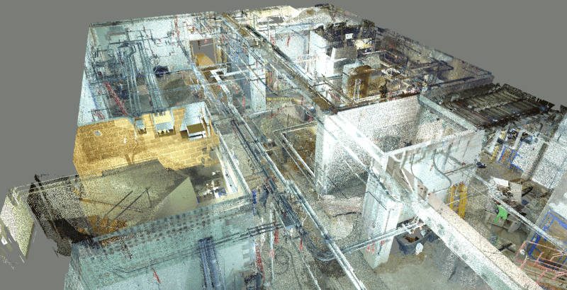


After project completion, LiDAR creates:
✔ Accurate 3D as-built records
✔ Digital asset documentation
✔ Maintenance-ready spatial data
✔ Compliance support
7️⃣ Digital Twin Development
LiDAR is foundational for:
- Digital twin infrastructure
- Smart city road management
- BIM-integrated transport systems
- Long-term performance monitoring
Why LiDAR Is Ideal for Road & Infrastructure Projects in Delhi NCR
Infrastructure projects in Delhi NCR face:
- High traffic density
- Tight deadlines
- Urban complexity
- Expanding smart city initiatives
LiDAR enables fast, non-intrusive, high-precision data capture — minimizing disruption while maximizing engineering reliability.
Why Choose TerraModus India Pvt. Ltd.?
✔ Advanced LiDAR scanning systems
✔ DGPS control integration
✔ GIS & BIM-ready deliverables
✔ Infrastructure-specialized survey engineers
✔ Fast deployment across Delhi NCR
We transform physical infrastructure into accurate, data-rich digital assets that support planning, execution, and long-term asset management.