

Choosing the right surveying company is one of the most important decisions at the start of any construction or infrastructure project. Survey data forms the foundation of design, approvals, execution, and long-term asset management.
An inaccurate or inexperienced survey partner can lead to:
- Costly rework
- Structural misalignment
- Legal boundary disputes
- Delays in approvals
- Budget overruns
If you are planning a project in Delhi NCR, here’s a practical guide to help you select the right surveying company.
1️⃣ Evaluate Technical Expertise & Equipment
Modern projects require more than just basic total station surveys.
A professional surveying company should offer:
✔ DGPS / RTK Surveying
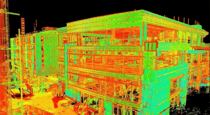
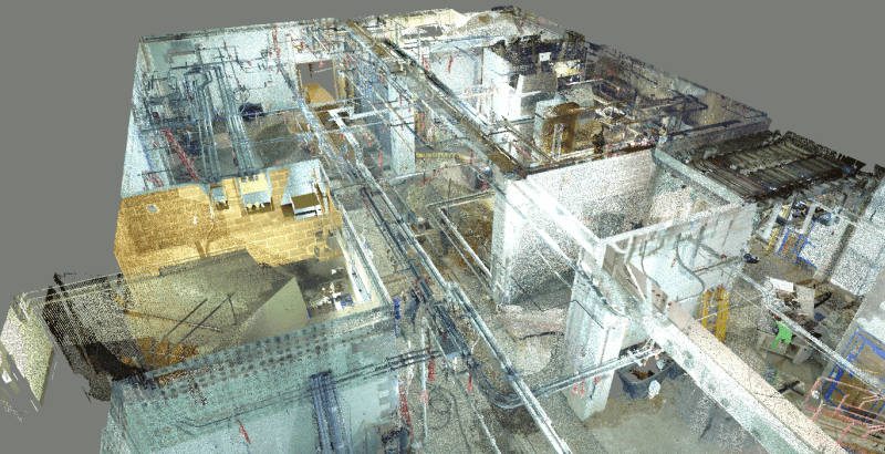
✔ LiDAR & 3D Laser Scanning
✔ Total Station Layout
✔ Drone Mapping (where permitted)
✔ GIS Integration
✔ BIM-ready outputs


Ask what equipment they use and whether it matches your project scale.
2️⃣ Check Experience in Your Project Type
Not all surveyors specialize in the same sectors.
Make sure the company has experience in:
- High-rise construction
- Highway & infrastructure projects
- Industrial plants
- Land subdivision
- Smart city initiatives
- Utility & drainage mapping
Experience in similar projects reduces risk and improves efficiency.
3️⃣ Review Accuracy Standards & Methodology
Precision is critical.
Ask about:
- Horizontal & vertical accuracy levels
- Control network setup process
- Georeferencing methods
- Quality assurance procedures
A professional firm should clearly explain how they maintain data accuracy.
4️⃣ Assess Deliverables & Data Compatibility


Survey data must integrate seamlessly with your design workflow.
Confirm that deliverables include:
✔ CAD drawings (DWG/DXF)
✔ Contour maps
✔ 3D point clouds
✔ BIM-compatible models
✔ GIS-ready files
✔ Earthwork volume reports
Data should be structured, clean, and usable — not just raw coordinates.
5️⃣ Verify Licensing, Compliance & Safety Standards
For projects in Delhi NCR, ensure:
- Compliance with local regulations
- Proper documentation standards
- Safety protocols for field operations
- Experience working in high-traffic environments
Professional companies follow strict field safety procedures.
6️⃣ Evaluate Turnaround Time & Team Capacity
Large infrastructure projects demand quick mobilization and structured execution.
Ask:
- How soon can they deploy a team?
- What is their daily survey capacity?
- Do they handle large-scale projects?
- How do they manage deadlines?
Delays in surveying can delay the entire project timeline.
7️⃣ Consider Long-Term Partnership Value
The right surveying company should not just collect data — they should act as a technical partner.
Look for a firm that:
✔ Advises on best survey methods
✔ Suggests cost-efficient solutions
✔ Supports revisions & additional scope
✔ Understands engineering workflows
Long-term collaboration improves project efficiency.
Red Flags to Avoid
🚩 Extremely low pricing without clarity on accuracy
🚩 Outdated equipment
🚩 No documented QA process
🚩 Unstructured deliverables
🚩 Lack of experience in similar projects
Remember — inaccurate surveying can cost far more than choosing a professional firm.
Why Choosing the Right Survey Partner Matters
In modern construction and infrastructure development, surveying is no longer a preliminary step — it is the foundation of digital project execution.
Accurate spatial data supports:
- Design precision
- Construction alignment
- Cost control
- Legal compliance
- Smart asset management
The right surveying company ensures your project starts strong and finishes without avoidable errors.
Work With a Reliable Surveying Partner in Delhi NCR
If you’re planning a residential, commercial, industrial, or infrastructure project, choosing an experienced and technology-driven surveying company is essential.
At TerraModus India Pvt. Ltd., we provide:
✔ DGPS & RTK Surveys
✔ LiDAR & 3D Laser Scanning
✔ Topographic & Contour Mapping
✔ Infrastructure Corridor Surveys
✔ BIM & GIS Integration
We help developers, contractors, and government agencies build with confidence — starting from accurate data.