

Modern construction demands precision. Whether it’s a high-rise building, highway corridor, metro expansion, or industrial facility, even minor measurement errors can lead to costly delays and structural misalignment.
This is where DGPS surveying becomes critical.
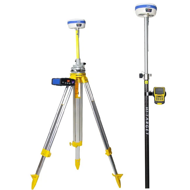
At TerraModus India Pvt. Ltd., we provide high-accuracy DGPS and RTK surveying services across Delhi NCR to support engineering, infrastructure, and real estate projects with centimeter-level precision.
What Is DGPS Surveying?
DGPS (Differential Global Positioning System) is an advanced positioning technology that improves the accuracy of standard GPS by using correction data from a fixed base station.
Unlike normal GPS (which may have 2–5 meter errors), DGPS provides:
✔ Centimeter-level horizontal accuracy
✔ High vertical precision
✔ Real-time positioning (RTK mode)
✔ Reliable geo-referenced data
It works by:
- Placing a base station at a known coordinate.
- The base station calculates satellite errors.
- Correction data is transmitted to rover units.
- Survey points are captured with high precision.
This makes DGPS ideal for construction layout, topographic surveys, and infrastructure alignment.
Why DGPS Is Essential for Modern Construction

1️⃣ Accurate Site Layout
Before construction begins, project boundaries, gridlines, and benchmarks must be accurately marked. DGPS ensures precise positioning for:
- Column grid layouts
- Foundation positioning
- Road centerlines
- Plot demarcation
2️⃣ Infrastructure Alignment
For highways, pipelines, and metro projects, alignment errors can cause major cost overruns.
DGPS ensures:
- Correct elevation profiles
- Accurate slope control
- Long-distance alignment accuracy
3️⃣ Topographic Mapping
DGPS allows fast and accurate capture of:
- Contour data
- Existing ground levels
- Drainage patterns
- Utility mapping
This data forms the base for engineering design.
4️⃣ Reduced Rework & Project Delays
Inaccurate surveying can cause:
- Structural misplacement
- Drainage failures
- Boundary disputes
- Excavation conflicts
DGPS reduces these risks significantly.
DGPS vs Traditional Survey Methods
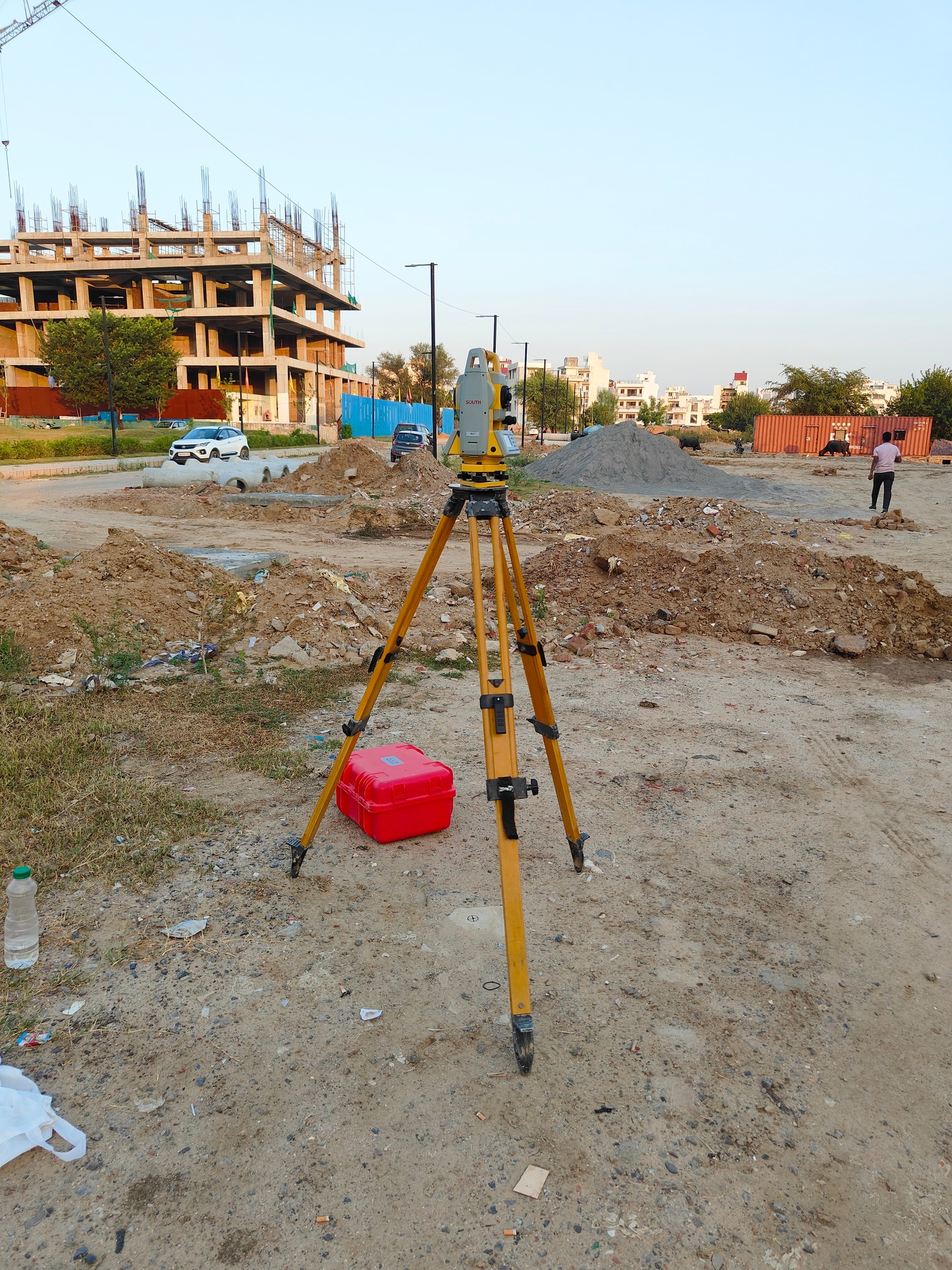
Traditional total station surveys are accurate but require intervisibility between points. DGPS allows faster coverage across large areas without line-of-sight limitations.
For large projects in Delhi NCR, combining DGPS with ta otal station or laser scanning ensures optimal efficiency and precision.
Applications of DGPS Surveying in Delhi NCR

DGPS surveying is widely used in:
- Residential township development
- Industrial parks
- Highway & expressway projects
- Metro rail projects
- Smart City initiatives
- Land subdivision & plotting
- Solar plant layout
- Drainage & stormwater planning
Why Choose TerraModus India Pvt. Ltd. for DGPS Surveying?
We combine:
✔ High-end GNSS & RTK equipment
✔ Experienced survey engineers
✔ Fast field deployment
✔ GIS & CAD integration
✔ BIM-ready deliverables
✔ Compliance with Indian survey standards
Our team ensures your project starts with accurate spatial data — the foundation of successful construction.
Conclusion
DGPS surveying is no longer optional in modern construction — it is essential.
With increasing project complexity, tighter tolerances, and digital design workflows, accurate geo-referenced data is the backbone of infrastructure development.
If you’re planning a project in Delhi NCR and need reliable DGPS surveying services, TerraModus India Pvt. Ltd. is ready to support your next development with precision and efficiency.